
Listing details
HiCyou directory record
- Listed website
- unfenced.land
- Directory record created
- Oct 18, 2026
- Last record update
- Oct 18, 2026
Listing information
- Overview
- 5 key features
- 4 use cases
This page describes HiCyou's directory record. It is not a security, ownership, or product-quality certification.
Review the external site before sharing sensitive information or making a purchase.
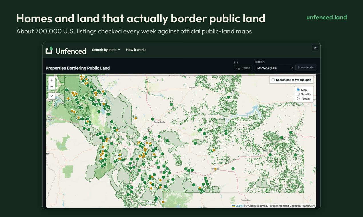
What is Unfenced
Unfenced is a land-search tool that checks roughly 700,000 U.S. property listings every week against official public-land maps and surfaces the homes and land parcels that actually border public land such as national forest, BLM, and state land. Each property is measured from its county parcel boundary, showing the shared edge in feet on a map, along with details like elevation, road access, flood zone, and wildfire hazard.
Key Features
Use Cases
- Finding land for sale that directly borders public land for hunting, recreation, or privacy
- Verifying public-land adjacency claims before purchasing rural property
- Assessing parcel-level risks such as flood zone and wildfire hazard
- Researching road access and elevation for remote land parcels
Why do startups need this tool?
Unfenced solves a narrow but painful discovery problem in land buying: distinguishing properties that genuinely border public land from marketing claims. Its automated weekly cross-referencing of hundreds of thousands of listings against parcel and public-land data shows how a small team can build a data-driven, free-to-use product that earns trust through transparency and measurability.