
掲載情報
HiCyou の掲載記録
- 掲載先サイト
- producthunt.com
- 掲載記録の作成日
- 2026/11/19
- 記録の最終更新
- 2026/11/19
掲載されている情報
- 概要
- 主な機能 5 件
- ユースケース 4 件
このページは HiCyou の掲載記録を示すものであり、セキュリティ、所有権、または製品品質を認証するものではありません。
機密情報を共有したり購入したりする前に、外部サイトを確認してください。
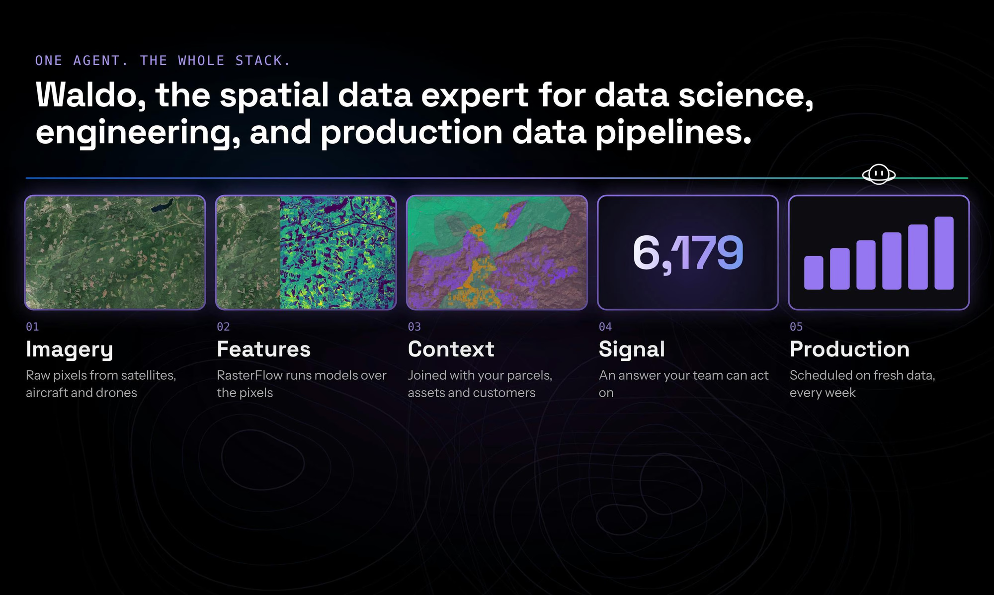
Waldo by Wherobotsとは
Waldo by Wherobots is a geospatial data agent that turns questions about the physical world into answers, maps, and production-ready data pipelines. It analyzes satellite imagery, geometries, geographic data, and an organization's first-party data, writes and debugs the analysis, and delivers results in hours. For recurring workloads, Waldo converts analyses into scheduled pipelines on existing data platforms. It is built for spatial analytics at scale by the creators of Apache Sedona.
主な機能
ユースケース
- Generating maps and insights from satellite imagery
- Analyzing geographic and first-party spatial data
- Automating recurring geospatial workflows as scheduled pipelines
- Accelerating engineering work involving spatial data
スタートアップにこのツールが必要な理由
Waldo lets startups get geospatial answers in hours instead of building spatial analysis pipelines by hand, and it can automate recurring workflows on existing data platforms using technology from the creators of Apache Sedona.